The digital twin
Interview with Christian Kathan
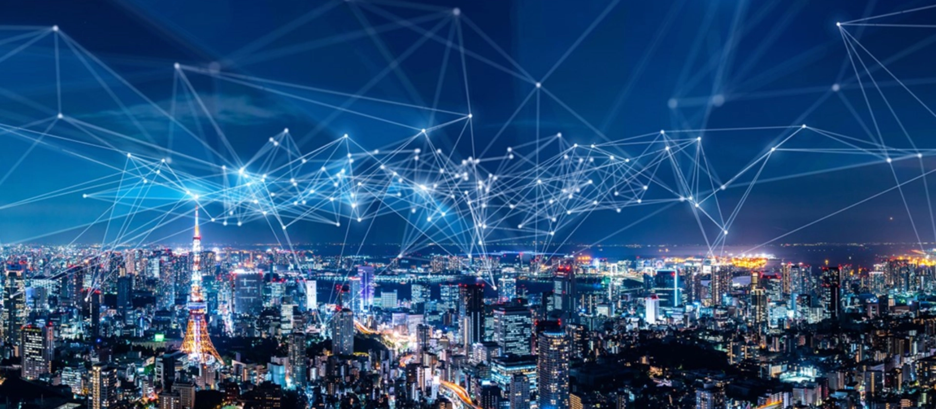
Digital twins create virtual representations of real systems - such as cities or industrial plants - in order to evaluate data in real time and carry out simulations. In the public sector, it is used to optimize urban processes, such as traffic planning or environmental monitoring, and thus improve the quality of life.
What is a digital twin? What roles do digital twins play in the public sector?
- There is no single definition of a digital twin, even if it is already covered in standards (e.g. DIN SPEC 91357 “Reference Architecture Model Open Urban Platform” or the recently published DIN SPEC 91607 “Digital Twin for Cities and Municipalities”), so I would like to explain how I would define it.
- A digital twin represents the real world in which the data of the system, be it machines, buildings, cities or regions, is collected and presented in a way that can be evaluated by machines and people. By evaluable, I mean that the data can be presented in real time for monitoring or promptly for current evaluations, historical evaluations and future predictions. Another goal can also be the simulation of behavioral patterns when the conditions of the system change.
- Generally speaking, the digital twin of a city does not differ superficially from an industrial plant, but the details do. An industrial plant or even an individual machine within this plant usually pursues a clearly defined purpose. It works with a specified input that is as constant as possible in order to deliver an output that is as consistent as possible. This can be regulated in a controlled manner.
- A city, on the other hand, is much more complex and has many factors that it cannot influence directly, but can at best only try to motivate it to take the desired course. In addition, there are always irreconcilable contradictions, such as whether more space should be provided for cars or for pedestrians or cyclists. Space is limited, so not all needs can be met at the same time. In addition, citizens and companies can fight back and often associate their interests with strong emotions. A machine does not care in which direction it is optimized.
- Cities are usually old, which severely limits their expandability, but also makes modernization more difficult when old structures have to be replaced or rebuilt. It is not enough to upgrade a traffic light with sensors and possibly actuators, but a critical mass must be reached so that added value is gained.
How does the development of a digital (city) twin work? What challenges and opportunities are there to consider?
A city is simply too big to implement all measures at once. Therefore, a requirements analysis is needed first to determine which use cases are currently of particular concern to the city administration, whether these can be reduced by technical means and whether this can save costs in the medium or long term - a very important point when city budgets are tight.
One of the main challenges of technical analysis in cities is the division of responsibilities between different departments or even different units. This separation can mean that everyone within a large process has different knowledge, but no one has an overall picture. On the one hand, the mentality of those involved must be changed, but on the other hand, technical means are also required, such as a central Urban Data Platform (UDP), which enables all those involved in the process to access all data so that an overall picture can be created.
The technical means are limited, not only in terms of technical feasibility, but especially in terms of potential use. One example is data protection, which in Germany is regulated by the GDPR. This requires measures to ensure that people cannot be identified or tracked or that their data is specially protected. There is often a gap between what society is willing to disclose and what data would help to create an even better overall picture.
This is also where the various data protection regulations (GDPR, Artificial Intelligence Regulation) come into play. Depending on the perspective, these are perceived as a restriction or at least as an additional burden - or viewed positively, as they guarantee protection against surveillance.
Once these issues have been considered, discussed and resolved, the next step is technical development. On the one hand, the existing infrastructure of a city must first be used, and on the other, new components must be realized or procured and then integrated. This applies to the development of sensors, radio networks such as LoRaWAN or mobile mapping systems, but also to applications that already exist in large numbers in every city, such as map services, data collections in various specialist procedures or the purchase of data such as mobility data.
The central basic components for a digital twin include the Urban Data Platform as the central data storage, display systems such as map clients in 2D and 3D, as well as dashboards for data-based analyses by people and analysis and simulation components supported by sets of rules or AI applications.
What goals are to be achieved with the implementation?
The overarching goal is to collect and collate as much relevant data as possible in order to better understand a city, its residents, businesses and their needs. On this basis, existing administrative processes can be optimized or newly developed. However, this data can also be made available to citizens and companies, who can use it to optimize their everyday lives or dealings with the authorities or, in the case of companies, develop added value from it. This can improve a city's quality of life and make it more attractive for citizens and businesses - for example through less congestion, a cleaner environment or a lower cost of living.
There are virtually no limits to what can be achieved. This can be used in many areas, whether in traffic planning, parking space management, infrastructure maintenance, waste disposal, energy use and distribution, urban development and wherever urban space needs to be managed, organized and maintained.
What is the current status of digital twins in cities and municipalities?
The status varies greatly, mostly due to financial and human resources. There are cities and municipalities that have not yet gone beyond providing maps, but there are also cities that have set up the basic components and are collecting initial data with sensors and building their use cases on this. What can be seen almost everywhere is that funding programs provide great support and are therefore the main drivers of development. However, these also harbour the risk of programs being discontinued or scaled back as soon as the funding runs out.
Nevertheless, there are also positive aspects here, such as cities communicating better with each other and consciously tackling different use cases in order to subsequently benefit from each other. The funding programs even support this, as they only fund open source components.
Nevertheless, there are still some steps to be taken in Germany, but also in other countries, in terms of technological implementation and acceptance.
How are we positioned? What do we offer, what is needed?
We at msg are broadly and innovatively positioned here. Our service portfolio includes up-to-date market knowledge, expertise and experience in specialist consulting and analysis and, of course, in the implementation of requirements.
We have a wide range of experience, be it in sensor technology for municipalities and its presentation in maps and dashboards or in the field of AI analysis, such as for determining road damage.
Customers often find it difficult to maintain an overview of the market and follow all developments. Also because their existing resources are often limited. This is where we can help, with our experts who have already been involved in various projects in the field of digital twins. At msg, we can not only draw on knowledge from the public sector, but also from other sectors, such as industry, which are already further advanced in this area.
Author profile: Christian Kathan

Born in Allgäu, he has many years of experience in requirements analysis and software architecture with customers in the public sector. He supports them in the implementation and further development of software systems and their architecture and has specialized in geoinformation systems, smart city and digital twins for more than 5 years.
